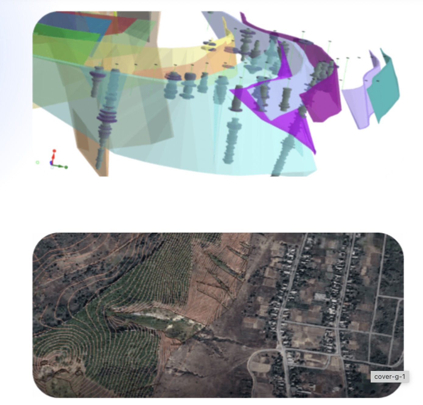
In the mining and exploration industry, understanding the geology of a project site is fundamental to success. Geological modelling software has become an essential tool, allowing geologists and engineers to visualize, analyze, and interpret subsurface data with precision. This technology supports companies in making informed decisions about resource estimation, mine planning, and risk management, ultimately leading to safer and more efficient operations.
What is Geological Modelling Software?
Geological modelling software is a specialized tool that helps create detailed representations of the earth’s subsurface. By integrating data from various sources, such as drill holes, geophysical surveys, and surface maps, this software enables companies to build three-dimensional models of geological formations. These models provide valuable insights into resource distribution, mineral composition, and structural geology, supporting efficient project planning and resource management.
Using geological modelling software, teams can better understand complex geological conditions, plan extraction methods, and optimize workflows based on accurate data. This capability makes geological modelling software a critical resource for modern mining operations.
Key Features of Geological Modelling Software
Geological modelling software provides an array of features designed to support different stages of mining and exploration projects. Some of the primary functionalities include:
- 3D Visualization: The software allows users to create three-dimensional models of the geology, helping teams visualize complex formations, faults, and mineral deposits. This clarity aids in identifying high-potential areas for exploration and extraction.
- Data Integration: Geological modelling software consolidates data from multiple sources, such as drill logs, historical data, and geophysical surveys, creating a unified model that provides a comprehensive view of the subsurface.
- Resource Estimation: Accurate resource estimation is essential for project planning and budgeting. Geological modelling software enables companies to estimate the quantity and quality of mineral resources, which is fundamental for making informed investment decisions.
- Structural Analysis: This feature helps geologists analyze structural features such as faults, folds, and fractures. Understanding these elements is critical for safe and efficient resource extraction.
- Scenario Planning: Scenario planning tools allow companies to simulate different extraction strategies, evaluate their feasibility, and choose the most efficient approach. This helps optimize resources and ensure project sustainability.
Benefits of Using Geological Modelling Software
Investing in geological modelling software offers numerous advantages for mining and exploration companies, including:
- Enhanced Accuracy: By visualizing geological formations in three dimensions, teams gain a more accurate understanding of the subsurface, reducing the risk of errors in planning and execution.
- Informed Decision-Making: The software provides comprehensive data that supports more accurate resource management and extraction planning, allowing for better decision-making throughout the project lifecycle.
- Cost Savings: By improving the accuracy of resource estimation and targeting exploration efforts more effectively, geological modelling software helps reduce unnecessary expenses and optimize budgets.
- Improved Safety: Geological modelling software can identify potential hazards, such as faults and unstable formations, early in the planning process. This proactive approach helps improve safety and prevent accidents.
- Environmental Responsibility: With scenario planning and resource estimation features, geological modelling software supports sustainable practices, enabling companies to minimize waste and reduce their environmental impact.
Case Study: Improving Project Efficiency with Geological Modelling Software
A gold mining company in Canada faced delays and cost overruns due to challenges in accurately mapping its mineral deposits. The company decided to implement geological modelling software to create a detailed model of the project site, using data from drill holes, geophysical surveys, and historical maps.
With this software, the company was able to pinpoint high-potential areas, optimize its drilling strategy, and improve resource estimation accuracy. As a result, project efficiency increased by 25%, and exploration costs were significantly reduced. This case illustrates how geological modelling software can transform project outcomes by enhancing accuracy and supporting data-driven decision-making.
The Future of Geological Modelling Software
As technology continues to advance, geological modelling software is becoming more powerful, incorporating machine learning algorithms, AI-driven predictive modeling, and automation. These advancements will allow mining companies to process larger datasets, improve predictive accuracy, and further refine resource management strategies. With the industry’s growing focus on sustainability, future developments are likely to include features that support eco-friendly practices and regulatory compliance.
Conclusion
Geological modelling software has become an invaluable tool for mining and exploration companies, enabling them to visualize and interpret geological data with greater precision. By providing insights into resource distribution, optimizing workflows, and supporting sustainability, this software enhances every stage of mining projects, from exploration to extraction.

