

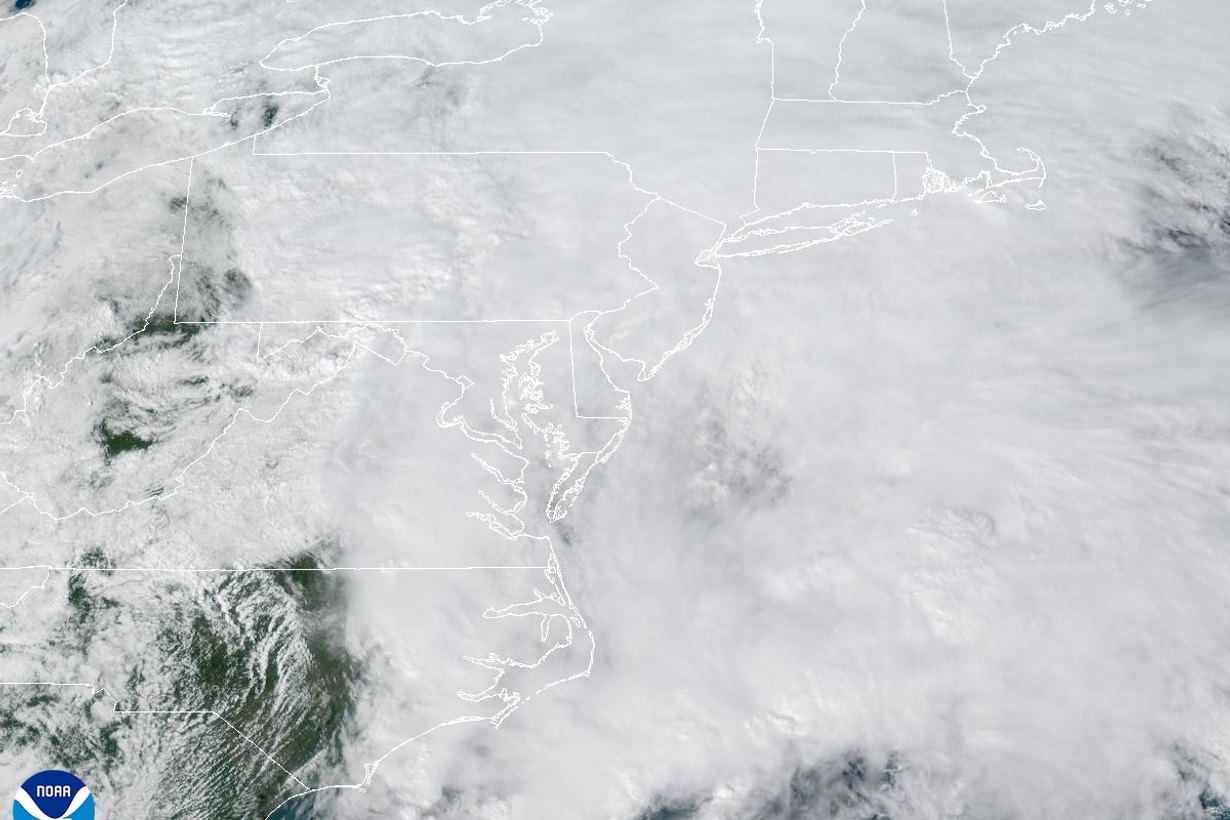
The remnants of Hurricane Isaias had already dropped roughly 1.5 to more than 3 inches of rain across much of central and western Maryland by early Sunday afternoon, according to reports compiled by the National Weather Service, and another round is due tonight. For Baltimore, that means a wet evening, possible thunderstorms and more ponding on roads before the system finally pushes offshore Monday morning.
There is one bright spot for a state stuck in drought: so far, rivers have barely reacted. Here is where the rain has fallen, what forecasters expect next and what it means if you live in or around the city.
How much rain has Isaias dropped on Maryland so far?
The weather service’s Baltimore/Washington office posted a list of precipitation reports at 2:32 p.m. Sunday. The numbers come from a mix of airport sensors, state and private weather networks and volunteer observers, and the agency notes that not all of them are considered official. Still, they show a clear pattern: the heaviest totals were reported in Frederick County, along the Chesapeake Bay shoreline in Anne Arundel and Baltimore counties, and in the mountains of Allegany County.
| County | Highest reported total | Reporting location |
|---|---|---|
| Frederick | 3.22 in. | 4 miles south of Sabillasville |
| Anne Arundel | 3.07 in. | 3 miles southwest of Cape Saint Claire |
| Allegany | 2.94 in. | 1 mile southwest of La Vale |
| Montgomery | 2.90 in. | 1 mile northeast of Clarksburg |
| Baltimore County | 2.77 in. | 2 miles southwest of Bowleys Quarters |
| Carroll | 2.73 in. | 1 mile north of Watersville |
| Washington | 2.66 in. | 2 miles southeast of Fairplay |
| Harford | 2.64 in. | 1 mile west of Joppatowne |
| Howard | 2.53 in. | Lisbon |
| Garrett | 1.96 in. | 6 miles southeast of Accident |
| Baltimore City | 1.84 in. | Listed as 2 miles northeast of Catonsville |
| Cecil | 1.65 in. | 2 miles northeast of Port Deposit |
| Prince George’s | 1.57 in. | Near Bowie and Burtonsville |
Closer to downtown, an automated airport-type sensor listed as “1 S Baltimore” had logged 1.58 inches by 1:53 p.m. Suburban stations ran a little wetter: 2.35 inches near Glen Burnie, about 2.2 inches southeast of Ellicott City, 2.05 inches near Columbia, 1.96 inches near Bel Air and 1.76 inches in Towson. An automated station 2 miles northeast of Annapolis reported 2.49 inches.
The list does not include the Lower Eastern Shore, which falls under the weather service office in Wakefield, Virginia.
Why haven’t Maryland rivers risen more?
Months of dry weather left soils thirsty, and much of the first round of rain soaked in instead of running off. In its Sunday morning forecast discussion, the weather service said widespread totals of 1 to 2 inches had been observed across the region, but streams were slow to respond.
“river responses have been limited thus far, likely owing to ongoing drought conditions.”
National Weather Service Baltimore/Washington, area forecast discussion, Oct. 11, 2026
That is welcome news for flood-prone spots such as Ellicott City’s Main Street, but it also means one storm will not erase the dry spell. We looked at how much Isaias’ rain could help Baltimore’s reservoirs and drought on Sunday morning.
What’s next for Baltimore tonight and Monday?
The weather service’s point forecast for downtown Baltimore, issued Sunday afternoon, calls for more rounds of rain before things clear out:
- Rest of Sunday afternoon: showers and thunderstorms, high near 67, east wind around 15 mph with gusts up to 28 mph. Another quarter to half inch of rain is possible.
- Sunday night: showers and thunderstorms, low around 61, gusts up to 22 mph. Another half to three-quarters of an inch is possible.
- Monday (Columbus Day/Indigenous Peoples’ Day): showers and storms likely before 9 a.m., then partly sunny with a high near 75. Up to another half inch is possible in the morning.
- Tuesday: mostly sunny and warm, with a high near 81.
Added together, those forecast ranges point to roughly 1 to 1.75 more inches in the city by Monday morning if they verify. The weather service said steady rain is likely again tonight as the upper-level low left over from Isaias crosses the Mid-Atlantic, with rain ending from west to east Monday morning and most of the area dry by Monday afternoon.
Is there still a tornado risk in Maryland?
Forecasters said a wave of low pressure moving through Sunday afternoon could produce rotating storms if enough instability develops, and they could not rule out a damaging wind gust. But a stable easterly flow has held over much of the region, and the Storm Prediction Center shifted its higher “slight risk” area south toward Interstate 64 in Virginia. The weather service said breaks in the clouds were more likely from central Virginia into Southern Maryland, which is where storms would have the best chance to strengthen.
When we checked the weather service’s active alerts for Maryland shortly before 3 p.m., no tornado watch or warning was in effect for the state. That can change quickly, so keep alerts turned on through the evening. Our earlier look at Sunday’s tornado risk has more background.
Where is coastal flooding a concern?
A coastal flood advisory covered Anne Arundel, Calvert and Charles counties until 4 p.m. Sunday, and the Wakefield office issued a coastal flood statement for Dorchester, Wicomico and Somerset counties through 8 p.m. A beach hazards statement was also posted for Maryland’s Atlantic beaches. Annapolis’ City Dock is one of the usual trouble spots; our Annapolis coastal flooding story has the details.
What should Baltimore-area residents do tonight?
- Never drive through water covering a road. The weather service warns that it takes only a small amount of moving water to sweep a vehicle away.
- Clear leaves from storm drains and gutters near your home, since fall leaves can turn small puddles into street flooding.
- Bring in or tie down patio furniture and trash cans ahead of gusts in the 20 to 30 mph range.
- Report outages through BGE directly rather than on social media, and stay away from downed lines.
- Check weather.gov/lwx for updated rainfall reports and any new warnings overnight.
Featured image: GOES-East GeoColor satellite view of the Mid-Atlantic and Northeast under cloud cover from Isaias’ remnants on Oct. 11, 2026. Photo: NOAA/NESDIS STAR, public domain.